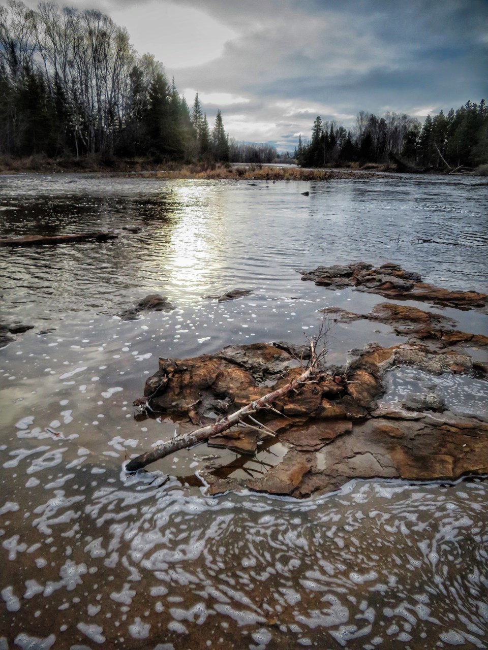
Today's image is from Joan Berezowski
Got a Story idea? Send it here. Got a Good Morning Photo to Share? Send it here.
Nipigon
Cloudy. 30 percent chance of flurries early in the morning with risk of freezing drizzle. Wind up to 15 km/h. High minus 3. Wind chill minus 14 in the morning and minus 7 in the afternoon. UV index 1 or low.
Marathon (Thunder Bay)
Cloudy with 30 percent chance of flurries and risk of freezing drizzle. Fog patches dissipating in the morning. Wind southwest 20 km/h. High plus 1. Wind chill minus 6 in the morning. UV index 1 or low.
Terrace Bay
Cloudy with 30 percent chance of flurries and risk of freezing drizzle. Fog patches dissipating in the morning. Wind southwest 20 km/h. High plus 1. Wind chill minus 6 in the morning. UV index 1 or low.
Hornepayne
Cloudy with 30 percent chance of flurries and risk of freezing drizzle. Wind up to 15 km/h. High zero. Wind chill minus 10 in the morning. UV index 1 or low.
White River
Mainly cloudy with 30 percent chance of flurries and risk of freezing drizzle. Fog patches dissipating in the morning. Wind becoming southwest 20 km/h in the morning. High zero. Wind chill minus 9 in the morning. UV index 1 or low.
Wawa
Mainly cloudy with 30 percent chance of flurries and risk of freezing drizzle. Fog patches dissipating in the morning. Wind southwest 30 km/h gusting to 50 becoming light late in the afternoon. High zero. Wind chill minus 12 in the morning. UV index 1 or low.
Geraldton
Cloudy. 30 percent chance of flurries in the morning and early in the afternoon with risk of freezing drizzle. Wind becoming southwest 20 km/h in the morning. High zero. Wind chill minus 13 in the morning. UV index 1 or low.
