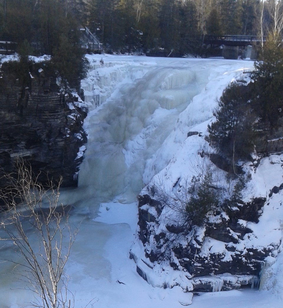
Today's image is from Luba Steblynsky
Got a Story idea? Send it here. Got a Good Morning Photo to Share? Send it here.
Nipigon
Cloudy. 60 percent chance of flurries in the morning. Periods of light snow beginning near noon. Risk of freezing drizzle in the morning. Fog patches dissipating in the morning. Wind up to 15 km/h. High plus 2. Wind chill minus 8 in the morning. UV index 2 or low.
Marathon (Thunder Bay)
Cloudy. 60 percent chance of flurries in the morning. Periods of light snow beginning near noon. Risk of freezing drizzle in the morning. Fog patches dissipating in the morning. Wind up to 15 km/h. High plus 2. Wind chill minus 8 in the morning. UV index 1 or low.
Terrace Bay
Cloudy. 60 percent chance of flurries in the morning. Periods of light snow beginning near noon. Risk of freezing drizzle in the morning. Fog patches dissipating in the morning. Wind up to 15 km/h. High plus 2. Wind chill minus 8 in the morning. UV index 1 or low.
Hornepayne
Periods of light snow. Risk of freezing drizzle early in the morning. Amount 2 cm. Wind up to 15 km/h. High plus 2. Wind chill minus 14 in the morning.
White River
Cloudy with 60 percent chance of flurries. Wind southwest 20 km/h. High plus 1. Wind chill minus 14 in the morning. UV index 1 or low.
Wawa
Mainly cloudy with 60 percent chance of flurries. Wind becoming southwest 20 km/h in the morning. High plus 1. Wind chill minus 15 in the morning. UV index 2 or low.
Geraldton
Periods of light snow ending early in the afternoon then cloudy with 60 percent chance of flurries or rain showers. Risk of freezing drizzle early in the morning. Wind up to 15 km/h. High plus 3. Wind chill minus 10 in the morning.
