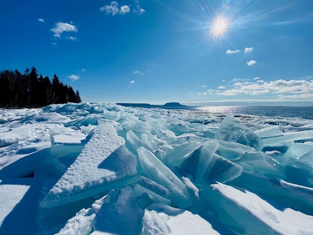
Today's image is from Pauline Hainey
Got a Story idea? Send it here. Got a Good Morning Photo to Share? Send it here.
Nipigon
Periods of snow ending in the afternoon then mainly cloudy with 30 percent chance of flurries. Amount 5 to 10 cm. Wind east 20 km/h becoming north 20 late in the afternoon. High minus 8. Wind chill minus 22 in the morning and minus 15 in the afternoon. UV index 1 or low.
Marathon (Thunder Bay)
Periods of snow ending in the afternoon then cloudy with 30 percent chance of flurries. Amount 5 to 10 cm. Wind northeast 20 km/h becoming light early in the afternoon. High minus 8. Wind chill minus 22 in the morning and minus 14 in the afternoon. UV index 1 or low.
Terrace Bay
Periods of snow ending in the afternoon then cloudy with 30 percent chance of flurries. Amount 5 to 10 cm. Wind northeast 20 km/h becoming light early in the afternoon. High minus 8. Wind chill minus 22 in the morning and minus 14 in the afternoon. UV index 1 or low.
Hornepayne
Mainly cloudy with 60 percent chance of light snow. Wind up to 15 km/h. High minus 12. Wind chill minus 28 in the morning and minus 18 in the afternoon. Risk of frostbite. UV index 1 or low.
White River
Cloudy. Periods of snow beginning in the morning. Amount 5 to 10 cm. Wind becoming northeast 20 km/h late in the afternoon. High minus 13. Wind chill minus 25 in the morning and minus 20 in the afternoon. UV index 1 or low.
Wawa
Cloudy. Periods of snow beginning in the morning. Amount 5 to 10 cm. Wind becoming northeast 20 km/h late in the afternoon. High minus 11. Wind chill near minus 22. UV index 1 or low.
Geraldton
Periods of snow ending in the afternoon then a mix of sun and cloud with 30 percent chance of flurries. Amount 5 cm. Wind up to 15 km/h. High minus 12. Wind chill minus 24 in the morning and minus 19 in the afternoon.
