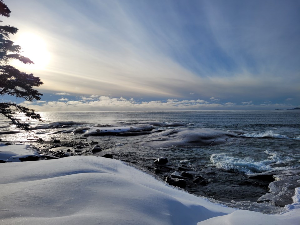
Today's image is from Christine Hause!
Nipigon
Periods of light snow ending near noon then clearing. Wind becoming north 30 km/h gusting to 50 in the morning. High minus 13. Wind chill minus 24 in the morning and minus 29 in the afternoon. Risk of frostbite. UV index 1 or low.
Marathon/Terrace Bay
Periods of light snow ending near noon then clearing. Wind becoming north 30 km/h gusting to 50 in the morning. High minus 13. Wind chill minus 22 in the morning and minus 29 in the afternoon. Risk of frostbite. UV index 1 or low.
Hornepayne
Periods of light snow ending in the afternoon then clearing. Local amount 2 cm. Wind becoming northwest 20 km/h gusting to 40 in the morning. High minus 16. Wind chill minus 25 in the morning and minus 37 in the afternoon. Risk of frostbite.
White River
Periods of light snow ending in the afternoon then clearing. Local amount 2 cm. Wind becoming north 20 km/h gusting to 40 late in the morning. High minus 14. Wind chill minus 19 in the morning and minus 32 in the afternoon. Risk of frostbite. UV index 1 or low.
Wawa
Periods of light snow ending in the afternoon then clearing. Local amount 2 cm. Wind becoming north 20 km/h gusting to 40 early in the afternoon. High minus 10. Wind chill minus 17 in the morning and minus 25 in the afternoon. UV index 1 or low.
Geraldton
Periods of light snow ending near noon then clearing. Wind becoming north 20 km/h gusting to 40 in the morning. High minus 16. Wind chill minus 26 in the morning and minus 35 in the afternoon. Risk of frostbite. UV index 1 or low.
Submit your Good Morning, Superior North photo here: [email protected]
Don't forget to include photo credit and where the photo was taken. Not only will they appear in Good Morning, Superior but also in our photo gallery.
Got a story idea? Let us know what's going on in your community and what you want to see in the news today! Just email us at [email protected].
