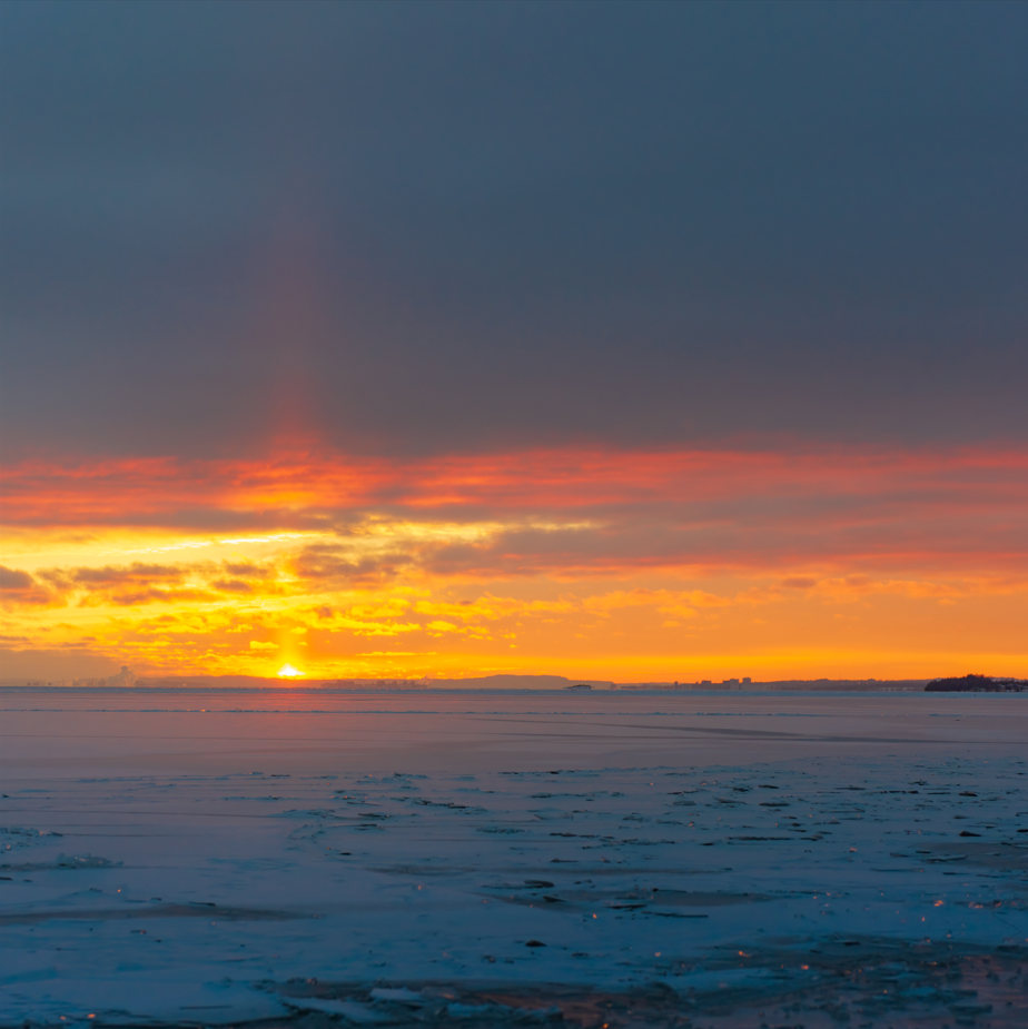
Today's image is from Dihao Fanl!
Nipigon
Increasing cloudiness. 40 percent chance of flurries early in the afternoon. Snow beginning in the afternoon. Amount 2 cm. Wind up to 15 km/h. High minus 7. Wind chill minus 34 in the morning and minus 10 in the afternoon. Risk of frostbite. UV index 2 or low.
Marathon/Terrace Bay
Increasing cloudiness. 40 percent chance of flurries late in the morning and early afternoon. Snow beginning early in the afternoon. Amount 2 to 4 cm. Wind up to 15 km/h. High minus 7. Wind chill minus 32 in the morning and minus 10 in the afternoon. Risk of frostbite. UV index 2 or low.
Hornepayne
Sunny. Wind southwest 20 km/h becoming light near noon. High minus 8. Wind chill minus 36 in the morning and minus 11 in the afternoon. Risk of frostbite. UV index 2 or low.
White River
Sunny in the morning then a mix of sun and cloud with 30 percent chance of flurries late in the afternoon. Wind up to 15 km/h. High minus 8. Wind chill minus 34 in the morning and minus 13 in the afternoon. Risk of frostbite. UV index 3 or moderate.
Wawa
Sunny. Increasing cloudiness late in the morning then 30 percent chance of flurries in the afternoon. Periods of snow beginning late in the afternoon. Wind up to 15 km/h. High minus 8. Wind chill minus 34 in the morning and minus 11 in the afternoon. Risk of frostbite. UV index 3 or moderate.
Geraldton
Sunny. Increasing cloudiness near noon then periods of snow beginning late in the afternoon. Wind up to 15 km/h. High minus 8. Wind chill minus 36 in the morning and minus 11 in the afternoon. Risk of frostbite. UV index 2 or low.
Submit your Good Morning, Superior North photo here: [email protected]
Don't forget to include photo credit and where the photo was taken. Not only will they appear in Good Morning, Superior but also in our photo gallery.
Got a story idea? Let us know what's going on in your community and what you want to see in the news today! Just email us at [email protected].
