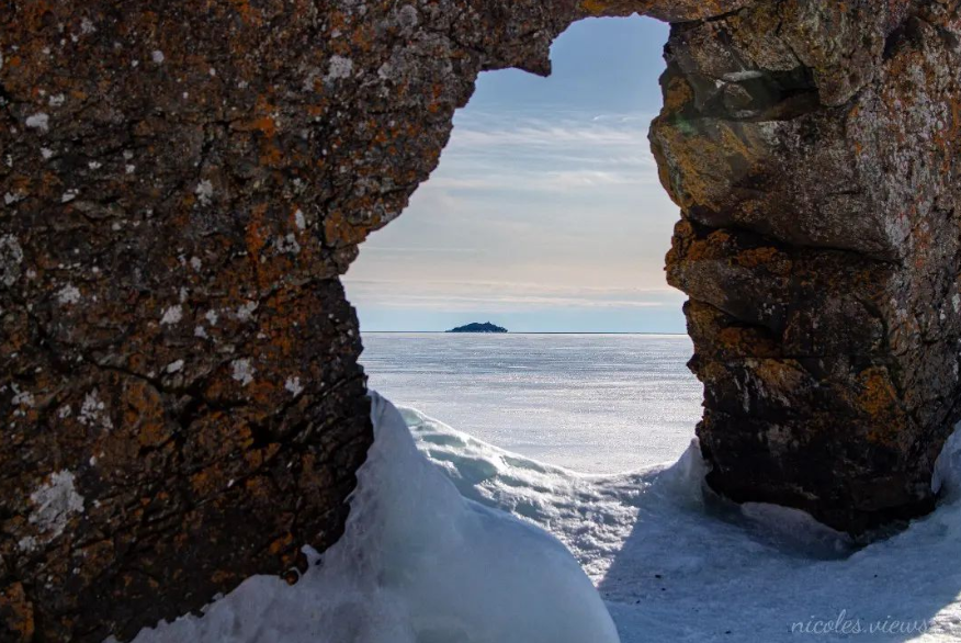
Today's image is from Nicoles Views!
Nipigon
Cloudy with 60 percent chance of flurries. Wind becoming west 30 km/h gusting to 50 in the morning. High zero. Wind chill minus 13 in the morning. UV index 2 or low.
Marathon/Terrace Bay
Flurries. Risk of snow squalls early in the morning. Local blowing snow early in the morning. Local amount 2 to 4 cm. Wind southwest 30 km/h gusting to 50. High zero. Wind chill minus 13 in the morning. UV index 2 or low.
Hornepayne
Flurries. Local amount 2 to 4 cm. Wind southwest 30 km/h gusting to 50. High plus 4. Wind chill minus 9 in the morning. UV index 2 or low.
White River
Flurries. Risk of snow squalls in the morning. Local blowing snow in the morning. Local amount 5 cm. Wind southwest 30 km/h gusting to 50. High plus 1. Wind chill minus 10 in the morning. UV index 2 or low.
Wawa
Flurries. Risk of snow squalls in the morning. Local blowing snow in the morning. Local amount 5 cm. Wind southwest 40 km/h gusting to 60. High plus 1. Wind chill minus 11 in the morning. UV index 2 or low.
Geraldton
Flurries. Wind west 30 km/h gusting to 50. High minus 1. Wind chill near minus 12. UV index 2 or low.
Submit your Good Morning, Superior North photo here: [email protected]
Don't forget to include photo credit and where the photo was taken. Not only will they appear in Good Morning, Superior but also in our photo gallery.
Got a story idea? Let us know what's going on in your community and what you want to see in the news today! Just email us at [email protected].
