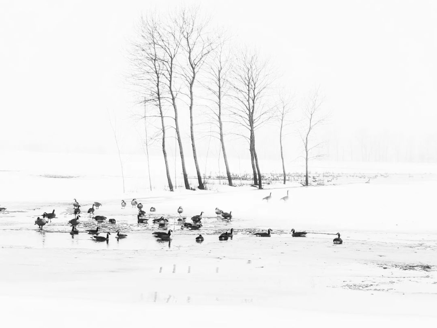
Today's image is from Adam Sabaz.
Nipigon
Cloudy. 30 percent chance of flurries late in the morning and in the afternoon. Risk of freezing drizzle early in the morning. Wind north 40 km/h gusting to 60. High minus 1. Wind chill near minus 11. UV index 2 or low.
Marathon/Terrace Bay
Cloudy. 30 percent chance of flurries late in the morning and in the afternoon. Risk of freezing drizzle early in the morning. Wind becoming northwest 20 km/h in the morning. High plus 2. UV index 2 or low.
Hornepayne
Cloudy. 30 percent chance of rain showers or flurries late in the morning and in the afternoon. Risk of freezing drizzle early in the morning. Wind becoming southwest 20 km/h gusting to 40 in the morning then becoming northwest 20 gusting to 40 early in the afternoon. High plus 5. UV index 2 or low.
White River
Cloudy. 30 percent chance of rain showers or flurries late in the morning and in the afternoon. Risk of freezing drizzle early in the morning. Wind southwest 20 km/h becoming northwest 20 in the afternoon. High plus 5. UV index 2 or low.
Wawa
Cloudy. 30 percent chance of rain showers or flurries late in the morning and in the afternoon. Risk of freezing drizzle early in the morning. Wind southwest 20 km/h becoming light in the morning. Wind becoming southwest 20 gusting to 40 early in the afternoon. High plus 2. UV index 4 or moderate.
Geraldton
Cloudy. 40 percent chance of flurries late in the morning and in the afternoon. Risk of freezing drizzle early in the morning. Fog patches dissipating in the morning. Wind becoming northwest 20 km/h gusting to 40 in the morning. Temperature falling to minus 7 in the afternoon. Wind chill minus 12 in the afternoon. UV index 2 or low.
Submit your Good Morning, Superior North photo here: [email protected]
Don't forget to include photo credit and where the photo was taken. Not only will they appear in Good Morning, Superior but also in our photo gallery.
Got a story idea? Let us know what's going on in your community and what you want to see in the news today! Just email us at [email protected].
