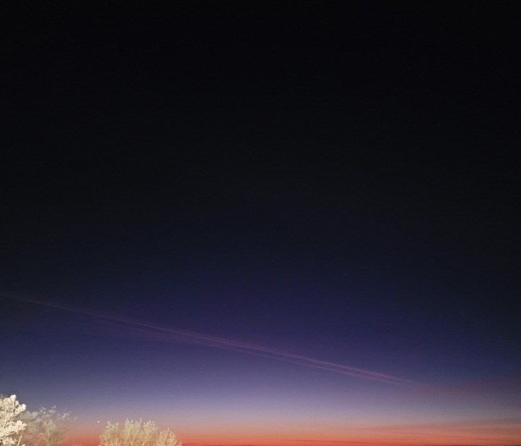
Today's image is from Ruby Obrien
Got a Story idea? Send it here. Got a Good Morning Photo to Share? Send it here.
Nipigon
| Periods of light snow ending in the morning then cloudy with 40 percent chance of flurries late in the morning and in the afternoon. Periods of light snow beginning late in the afternoon. Wind up to 15 km/h. High minus 11. Wind chill minus 22 in the morning and minus 14 in the afternoon. UV index 1 or low. |
Marathon/Terrace Bay
| Periods of light snow ending near noon then cloudy with 40 percent chance of flurries. Local blowing snow early in the morning. Amount 2 cm. Wind southwest 30 km/h gusting to 50 becoming light near noon. High minus 9. Wind chill minus 22 in the morning and minus 12 in the afternoon. UV index 1 or low. |
Hornepayne
| Periods of light snow ending late in the afternoon then cloudy with 40 percent chance of flurries. Amount 2 cm. Wind up to 15 km/h. High minus 9. Wind chill minus 25 in the morning and minus 12 in the afternoon. |
White River
| Periods of snow. Amount 2 to 4 cm. Wind becoming southwest 20 km/h gusting to 40 late in the morning then light in the afternoon. High minus 8. Wind chill minus 20 in the morning and minus 11 in the afternoon. |
Wawa
| Periods of snow and local blowing snow. Amount 2 to 4 cm. Wind southwest 30 km/h gusting to 60. High minus 6. Wind chill minus 20 in the morning and minus 13 in the afternoon. |
Geraldton
| Periods of light snow ending near noon then cloudy with 40 percent chance of flurries. Amount 2 cm. Wind up to 15 km/h. High minus 13. Wind chill minus 26 in the morning and minus 16 in the afternoon. |
