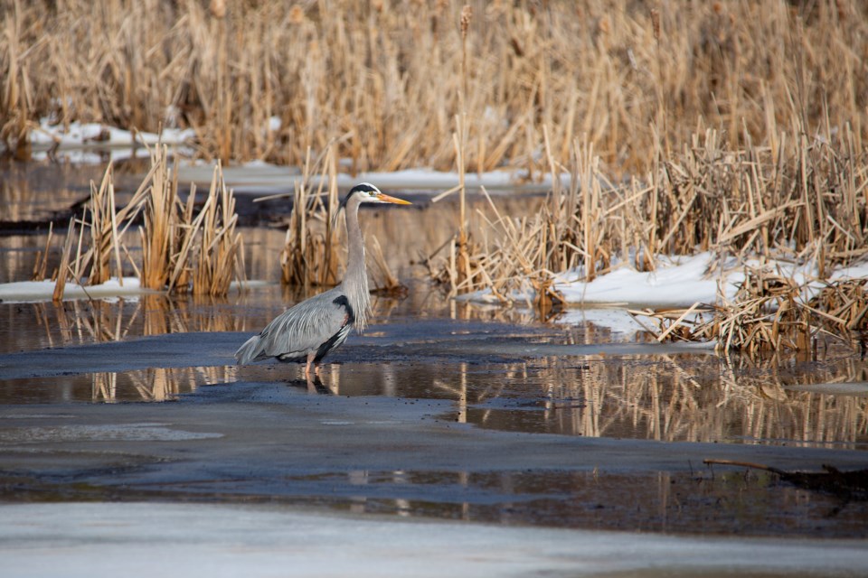
Today's image is from David Chisholm
Got a Story idea? Send it here. Got a Good Morning Photo to Share? Send it here.
Nipigon
| A mix of sun and cloud with 40 percent chance of showers. High 10. |
Marathon/Terrace Bay
| Snow ending near noon then cloudy with 30 percent chance of drizzle or rain showers. Snowfall amount 5 cm except 10 cm over higher terrain. Wind southeast 20 km/h gusting to 40 becoming light late in the afternoon. High plus 4. Wind chill minus 7 in the morning. UV index 2 or low. |
Hornepayne
| Becoming cloudy in the morning then snow changing to 40 percent chance of drizzle or rain showers in the afternoon. Snowfall amount 2 to 4 cm. Wind becoming southeast 20 km/h gusting to 40 late in the morning. High plus 4. Wind chill minus 9 in the morning. UV index 3 or moderate. |
White River
| Cloudy. Snow beginning in the morning and ending in the afternoon then 40 percent chance of drizzle or rain showers late in the afternoon. Snowfall amount 5 cm except 10 cm over higher terrain. Wind becoming south 30 km/h gusting to 50 in the morning. High plus 4. Wind chill minus 9 in the morning. UV index 2 or low. |
Wawa
| Cloudy. Snow beginning in the morning and ending in the afternoon then 40 percent chance of drizzle or rain showers late in the afternoon. Snowfall amount 5 cm except 10 cm over higher terrain. Wind becoming south 30 km/h gusting to 50 late in the morning. High plus 4. Wind chill minus 6 in the morning. UV index 2 or low. |
Geraldton
| Snow ending in the afternoon then cloudy with 30 percent chance of drizzle or rain showers. Snowfall amount 2 to 4 cm. Wind becoming southeast 20 km/h late in the morning. High plus 4. Wind chill minus 8 in the morning. UV index 2 or low. |
