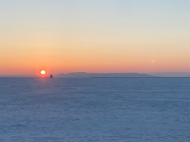
Today's image is from Chris Moorhead.
Got a Story idea? Send it here. Got a Good Morning Photo to Share? Send it here.
Nipigon
| Periods of light snow ending in the morning then clearing. Local blowing snow in the morning. Wind north 30 km/h gusting to 50 becoming light late in the afternoon. High minus 13. Wind chill minus 35 in the morning and minus 20 in the afternoon. Risk of frostbite. UV index 1 or low. |
Marathon/Terrace Bay
|
Hornepayne
| Snow at times heavy ending late in the afternoon then a mix of sun and cloud. Local blowing snow. Amount 10 cm. Wind northwest 30 km/h gusting to 50. High minus 18. Wind chill minus 36 in the morning and minus 29 in the afternoon. Risk of frostbite. UV index 1 or low. |
White River
| Snow ending late in the afternoon then clearing. Local blowing snow. Amount 5 to 10 cm. Wind north 30 km/h gusting to 50. High minus 16. Wind chill minus 35 in the morning and minus 25 in the afternoon. Risk of frostbite. |
Wawa
| Snow and local blowing snow ending late in the afternoon then a mix of sun and cloud. Amount 5 to 10 cm. Wind north 30 km/h gusting to 50. High minus 14. Wind chill minus 28 in the morning and minus 23 in the afternoon. Risk of frostbite. |
Geraldton
|
