SUPERIOR NORTH -- Environment Canada has issued an extreme cold warning for parts of the region.
The government weather agency states wind chill values between -40C and -45C are expected Thursday evening through Friday morning.
Similar conditions are expected to return Friday night into Saturday morning.
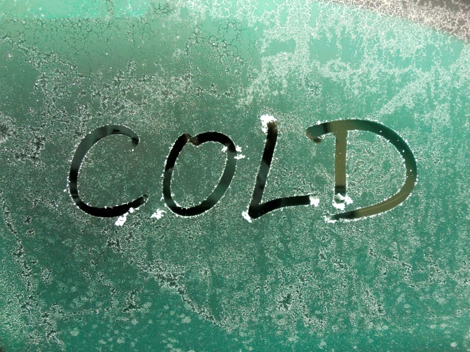
Bitterly cold arctic air will begin to flood across the area this afternoon or evening.
Minimum temperatures in the -30Cs combined with moderate winds will bring wind chill values between -40C and -45C.
Watch for cold-related symptoms such as shortness of breath, chest pain, muscle pain and weakness, numbness and colour change in fingers and toes.
Dress in layers that you can remove if you get too warm. The outer layer should be wind resistant.
Frostbite can develop within minutes on exposed skin, especially with wind chill, so make sure you cover up.
If it's too cold for you to stay outside, it's too cold for your pet to stay outside.
Extreme cold in effect for:
- Wawa - Pukaskwa Park
- White River - Dubreuilville
- Marathon - Schreiber
- Nipigon - Rossport
- Geraldton - Longlac - Caramat
- Manitouwadge - Hornepayne
- Nakina - Aroland - Pagwa
- Attawapiskat
- Fort Hope - Lansdowne House - Ogoki
- Beardmore - Jellicoe - Macdiarmid
- Gull Bay - Black Sturgeon Lake
- Webequie
- Fort Severn
- Peawanuck
