THUNDER BAY — Parents across the city may be dressing their children in fall jackets for the start of the new school year on Wednesday.
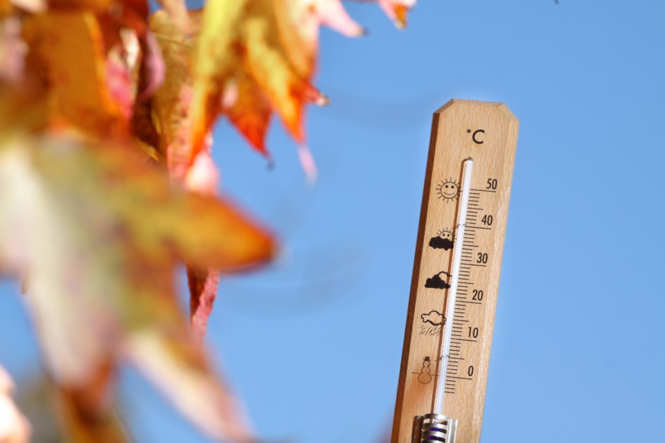
The maximum temperature for the day will reach only 10 C, and Thursday and Friday won't be a lot better.
"We're going to be into some pretty cool weather after today," Environment Canada meteorologist Crawford Luke said Tuesday morning. "There's going to be parts of Northern Ontario the next couple of days that will probably see a few snowflakes. This is kind of our first blast of a fall chill, I guess you could say."
Crawford said snow could fall in areas north of Geraldton, where Wednesday's forecast high is only 4 C.
The normal high temperature for Thunder Bay at this time of year is 20 C.
At Thunder Bay Airport, the average maximum during the month of August was about 24 C, which is the long-term normal for the month.
The average overnight low in August was about 11 degrees, or about one degree above the long-term normal.
Besides being unseasonably cool, showers are expected in the city throughout the day on Wednesday.
Despite the frequent thunderstorm activity last month, only 46 mm of rain was recorded at the airport in August, barely half the normal total.
