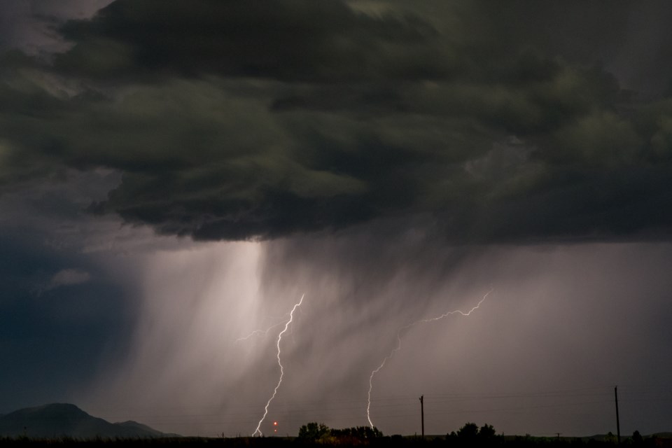
SUPERIOR NORTH -- Environment Canada has issued a severe thunderstorm watch for parts of the region on Friday.
The government weather agency says conditions are favourable for the development of dangerous thunderstorms Friday afternoon and evening that may be capable of producing 90 to 110 kilometres an hour wind gusts, nickel to ping pong ball seized hail and heavy rain. A tornado is possible.
Residents are being reminded that large hail can damage property and cause injury. Very strong wind gusts can damage buildings, down trees and blow large vehicles off the road.
Heavy downpours can cause flash floods and water pooling on roads. Water-related activities may be unsafe due to violent and sudden gusts of wind over bodies of water.
Lightning kills and injures Canadians every year. Remember, when thunder roars, go indoors.
Severe thunderstorm watch in effect for:
- Geraldton - Longlac - Caramat
- Manitouwadge - Hornepayne
- Nakina - Aroland - Pagwa
- Armstrong - Auden - Wabakimi Park
- Beardmore - Jellicoe - Macdiarmid
- Marathon - Schreiber
- Wawa - Pukaskwa Park
- White River - Dubreuilville
